How long does it take to drive across California?
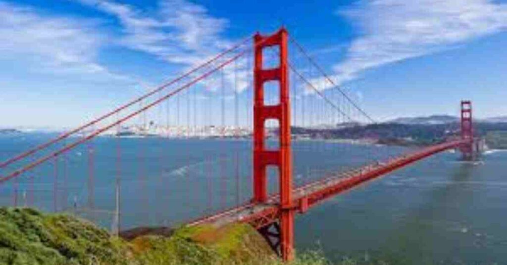
“The Golden State,” California is home to some of the most stunning and beloved travel destinations in the United States. Crossing California will be an exciting journey filled with beautiful scenery and adventure, from the wild Pacific coast to the magnificent peaks of the Sierra Nevada Mountains.
It takes about 12 hours and 20 minutes to travel north to south across California, 3 hours and 30 minutes to travel east-west to San Francisco. It takes 5 hours to drive from Phoenix across the state to Santa Monica, which runs east-west.
One of the most rewarding road trip experiences of a lifetime is traveling through the vast state of California. We’ve put up this guide to help you choose the best route and stops, whether traveling the vast state’s entire length or only a section.
Time to travel across California by road
| Route | Main Road | Distance | Driving Time |
| East to West Nevada to San Francisco | I-80 | 210 miles | 3 hours 30 minutes |
| East to west Nevada to Santa Monica | I-15 | 240 miles | 4 hours |
| East to west Arizona to Santa Monica | I-10 | 250 miles | 4 hours and 30 minutes |
| North to south Oregon to Mexico | I-5 | 800 miles | 12 hours 20 minutes |
California borders Mexico (Baja California) to the south, Nevada and Arizona to the east, and Oregon to the north. Sacramento is the state capital, and California is home to some of the world’s best-known travel destinations, such as Los Angeles, San Francisco, and San Diego.
Navigating through California is not that hard. The best routes that use the state’s endless interstates are outlined as follows.
You can travel 800 miles in more than 12 hours without stopping when crossing California from Oregon in the north to Mexico in the south. For the most part, you’ll be on I-5 South.
It will take 3 hours and 30 minutes to drive 210 miles nonstop from Nevada in the east to the Pacific Ocean in the west across San Francisco. You will travel along I-80 West on this route.
Direct travel through Los Angeles from Nevada to Santa Monica is another well-liked east-to-west route. It will take 4 hours to travel the 240 miles along I-15 to Santa Monica.
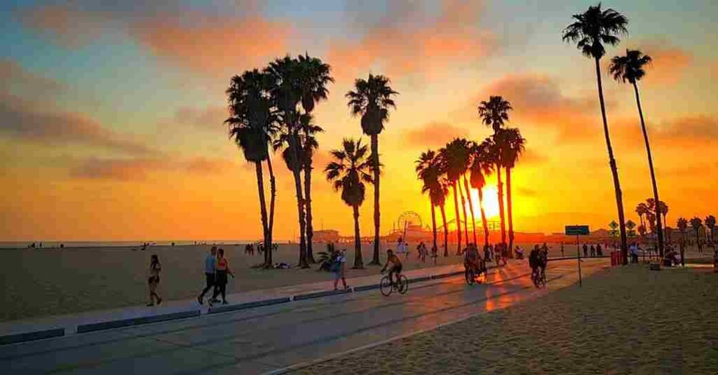
The other choice is to drive from Arizona to California, heading toward Phoenix. In this case, you will need to spend 5 hours driving 250 miles to Santa Monica, which is located on the Pacific Ocean coast.
Travel from Oregon to Mexico through California
South of San Diego, one main highway links the Oregon border with the Mexican border. This will lead you through some of the state’s most breathtaking locations, such as the Pacific Ocean and the edge of the Sierra Nevada Mountains.
California is home to a few major cities and worldwide centers. Congestion is a well-known issue between Los Angeles and San Francisco (if you want a speedy journey, you need to avoid this route)
Given the length of the route, we advise making four stops for food and, if needed, refueling, along with one overnight break. Red Bluff (2 hours 30 minutes by car, 150 miles from the Oregon border), Sacramento (2 hours from Red Bluff, 130 miles), Kettleman City (3 hours 20 minutes, 210 miles from Sacramento),
Moreover from San Diego (4 hours 30 minutes, 300 miles from Kettleman City) are the places we recommend stopping.
We recommend spending the night in lovely Sacramento to relax. The northernmost tip of California is approximately 4 hours and 40 minutes away from the state capital. Near the major road, Sacramento offers a good hotel and motel scene.
Driving from Reno to San Francisco through California
It will be a lovely drive through the heartland of northern California from Reno to San Francisco. You will get the opportunity to travel across the vast Central Valley, California’s capital, and the mighty Sierra Nevada mountains.
We suggest making one stop before entering Sacramento, which is 120 miles away, 2 hours and 10 minutes from the Lake Tahoe area, and 1 hour and 20 minutes from San Francisco, even though it’s a short journey from the Reno/Lake Tahoe area.
San Francisco is likely to have the most backed-up traffic. This city is extremely congested, particularly around rush hour. Severe traffic is likely to occur anywhere from downtown to the Oakland Bridge.
Due to its late 18th-century founding, San Francisco’s basic thoroughfares are not designed to accommodate large numbers of vehicles at once.
Driving from Las Vegas to Los Angeles Through California
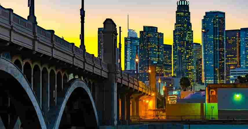
Delays are to be expected in and around Los Angeles, particularly at Santa Monica’s entrance. Around 7–10 AM and 4–7 PM is rush hour. Remember that LA is also very crowded around the holidays.
Traffic is heavy at Anaheim’s Universal Studios and the well-known Walt Disney World Resort.
We suggest making a single stop in Barstow, which is 110 miles from the Nevada border and 1 hour and 50 minutes away. This is the ideal spot to relax before the busy final part of your trip, as traffic gets worse as you enter Los Angeles.
| Starting from | Arriving to | Distance | Driving time |
| Lake Tahoe | San Francisco, CA | 190 miles | 3 hours 40 minutes |
| Las Vegas, NV | Santa Monica, CA | 290 miles | 4 hours 30 minutes |
| Phoenix, AZ | Santa Monica, CA | 390 miles | 6 hours |
| Portland, OR | Tijuana, MX | 1,100 miles | 17 hours 10 minutes |
Things to consider that can impact driving time
In and around Los Angeles, traffic may get severely blocked, and delays are common in Sacramento as well. Keep an eye out for any road construction that can cause delays in your trip.
Rush hours can occasionally cause significant delays, especially on major interstate routes and when entering or leaving major cities. Do not travel on Fridays. Traffic problems may also occur in smaller cities like Sacramento, San Diego, and others.
Although delays can happen at any time, it’s a good idea to pay attention to rush hours, which are from 7-9 AM and 4.30- 6:30 PM.
Even while California is renowned for its sunny sky and ideal climate, it occasionally experiences bad weather. Winter thunderstorms typically bring significant rainfall and arrive rapidly. We advise making appropriate plans and constantly checking the weather before leaving.
How to travel across California as early as possible
You can take a few steps to ensure an enjoyable and secure journey across California. To drive securely while another driver breaks and switches, first make sure you have two drivers available.
Selecting a car that is economical to reduce the number of refueling stops is a smart idea, If at all possible, stay away from holidays and peak hours.
To enjoy the travel, make sure you have your favorite song on hand and load up on food. Additionally, having snacks can reduce the number of stops and detours needed. There is a lot of famous music that sings about the regions you will be traveling through because this is California.
Confirm any alerts or road closures before setting further.
Frequently Asked Questions
How long is California from top to bottom?
At its widest and longest, California is the third largest state in the US, spanning 560 miles from west to east and 1040 miles from north to south.
How long does it take to drive from north California to south California?
Depending on your route, traffic, and stops along the way, driving from south to north throughout California usually takes 8 to 10 hours. The Central Valley is crossed by Interstate 5 (I-5), the most direct route.
How long does it take to drive the whole California coast?
How much time does it take to travel the Pacific Coast Highway through its whole? Driving the entire Pacific Coast Highway without stopping would take at least 40 hours, or over two days. However, the entire purpose of driving the PCH is to take your time and stop frequently to take in the surrounding landscape.
Is California flat or hilly?
California is one of the few places in the world with beaches and snow, deserts and high mountain peaks, and some of the world’s richest agricultural areas. It is unofficially divided into three regions: Northern, Central, and Southern California.
for more detail kindly visit http://VisitCalifornia.org
